
36 Inch Relief map of the United States | Puzzle and Decoration | Individual Regions
$66.14+
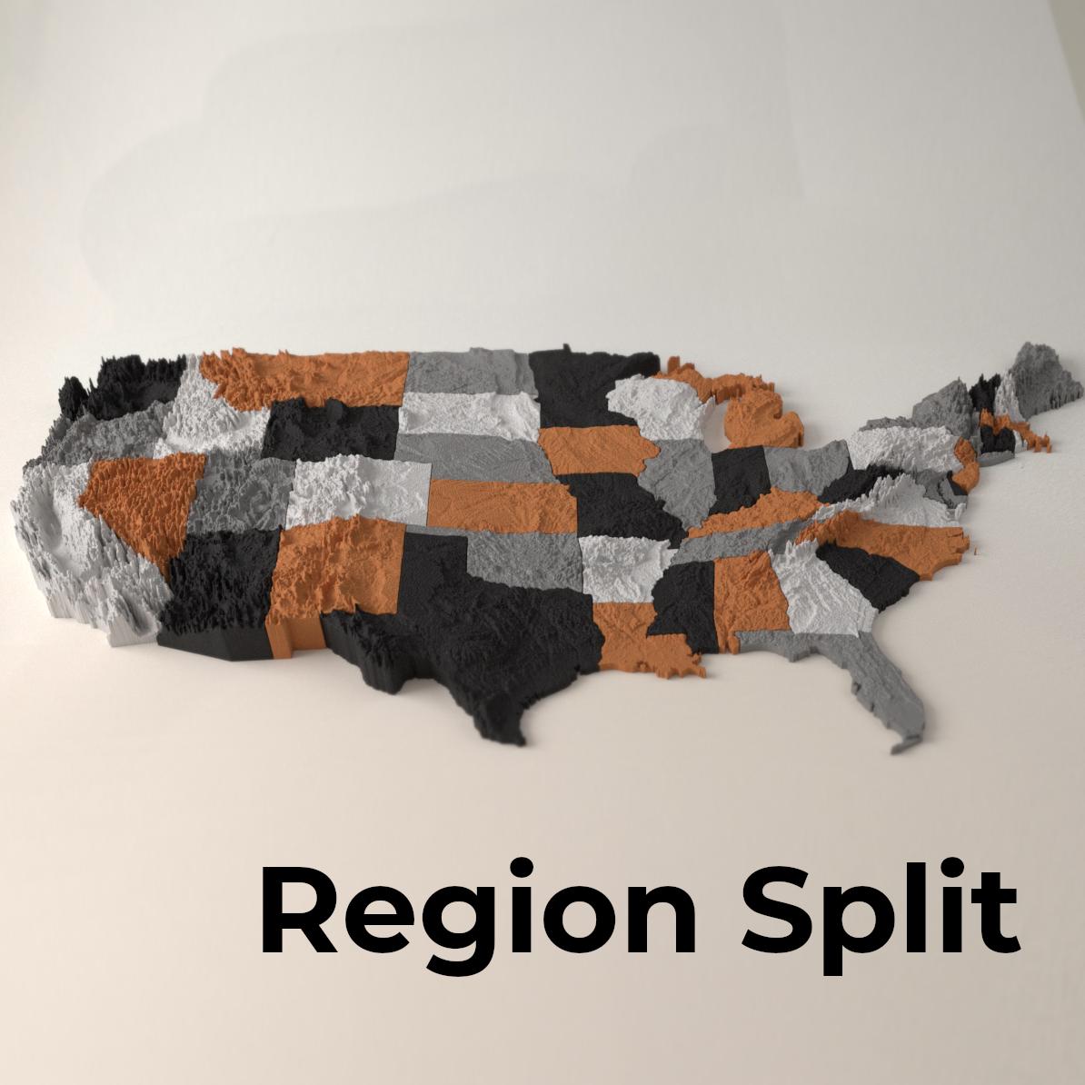
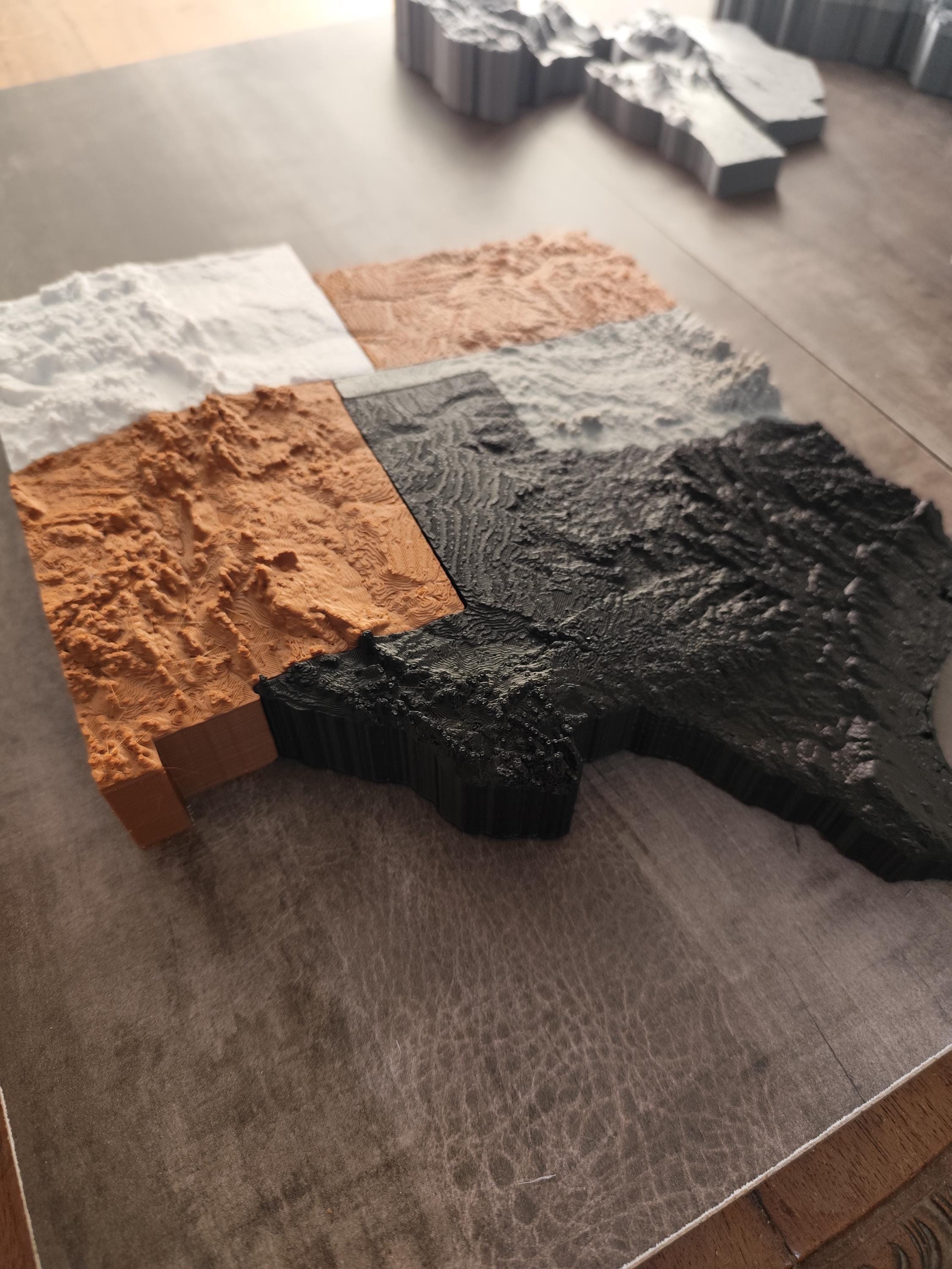
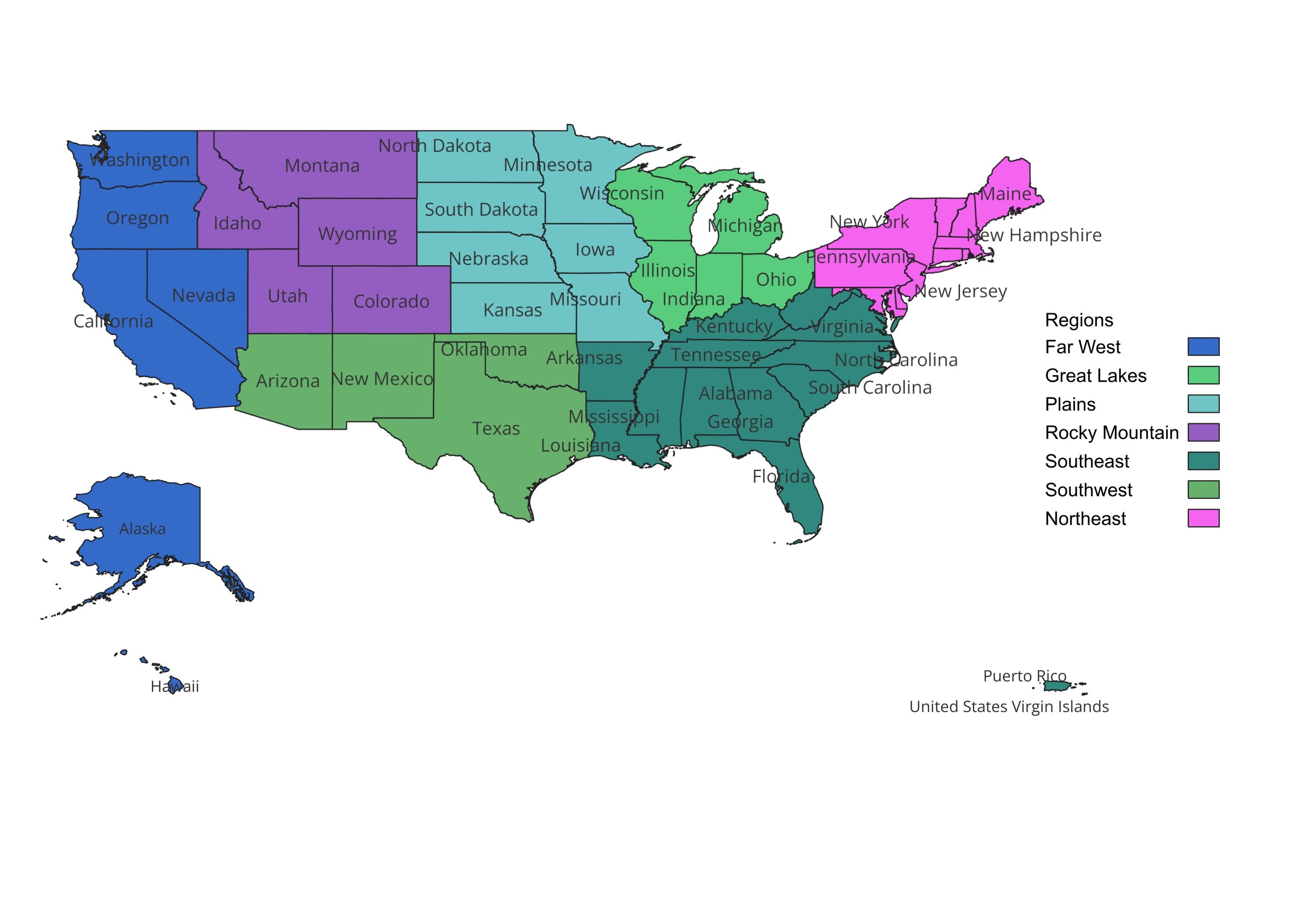
Want to buy a single section of the map full US map? Want to buy it in parts? This is your listing! Here you will find the map split into regions as follows:
Northeast: Delaware, Maryland, New Jersey, New York, Pennsylvania, and Washington, Connecticut, Maine, Massachusetts, New Hampshire, Rhode Island, and Vermont
Great Lakes: Illinois, Indiana, Michigan, Ohio, and Wisconsin
Plains: Iowa, Kansas, Minnesota, Missouri, Nebraska, North Dakota, and South Dakota
Southeast: Alabama, Arkansas, Florida, Georgia, Kentucky, Louisiana, Mississippi, North Carolina, South Carolina, Tennessee, Virginia, and West Virginia
Southwest: Arizona, New Mexico, Oklahoma, and Texas
Rocky Mountain: Colorado, Idaho, Montana, Utah, and Wyoming
Far West: Alaska, California, Hawaii, Nevada, Oregon, and Washington
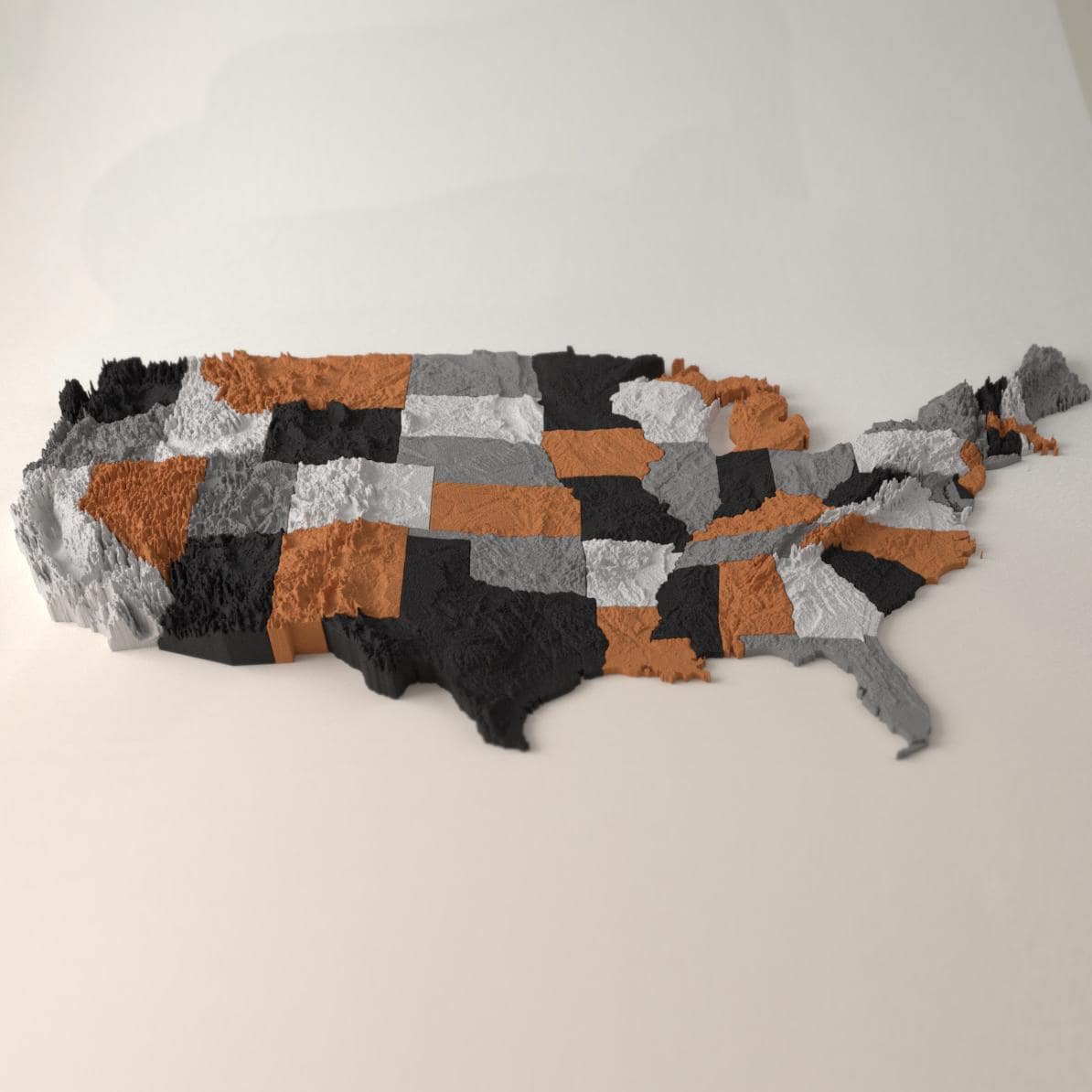
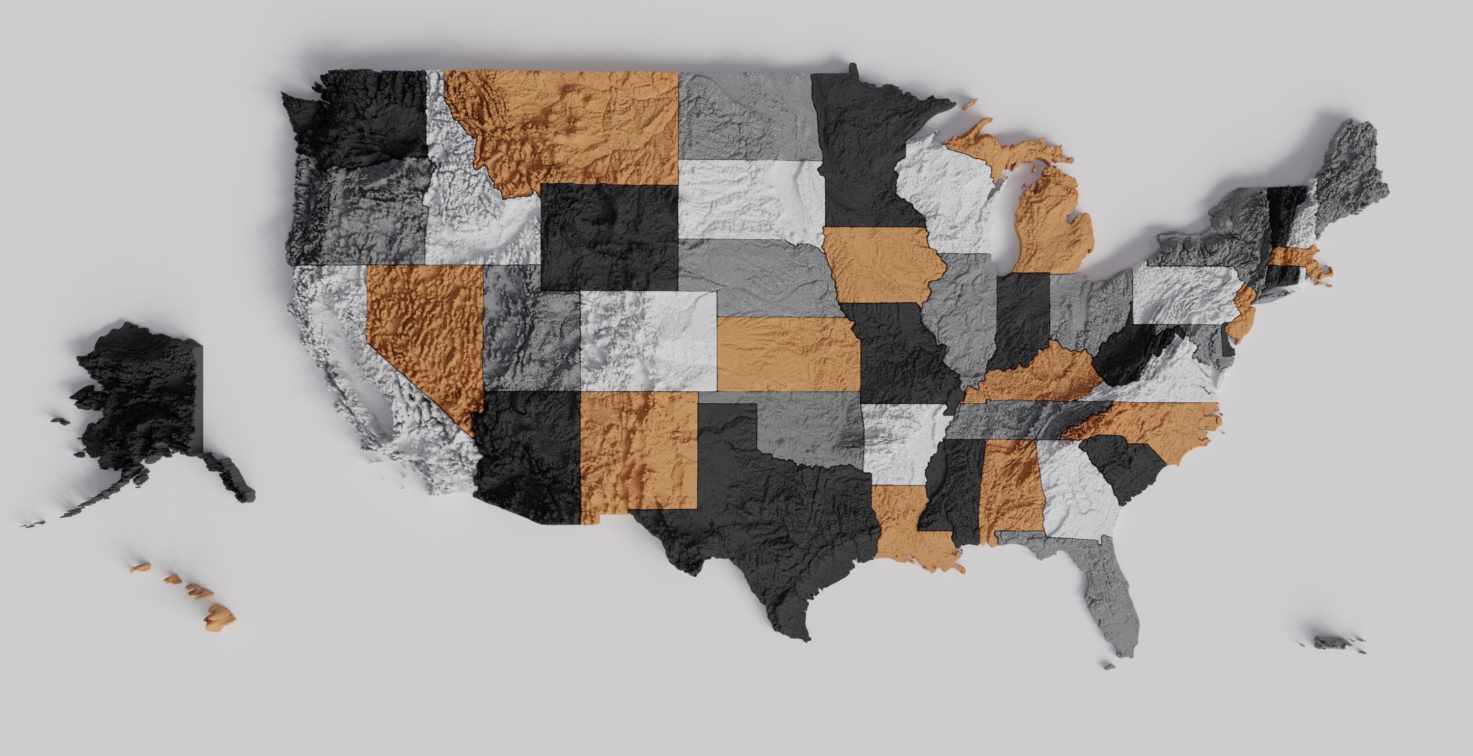
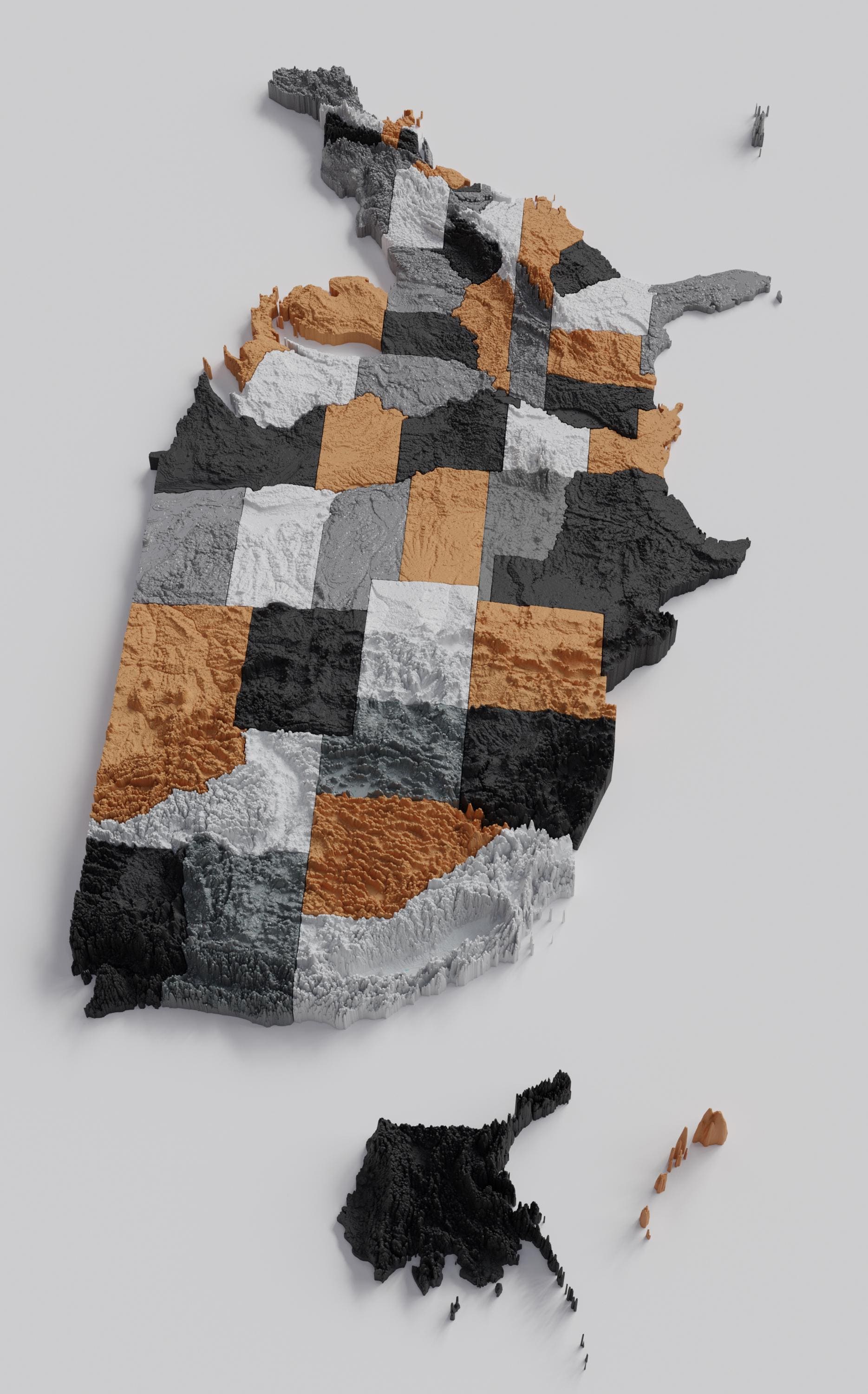
This is our ultimate map, a 50 piece collection of all contiguous states plus Alaska, Hawaii and Puerto Rico.
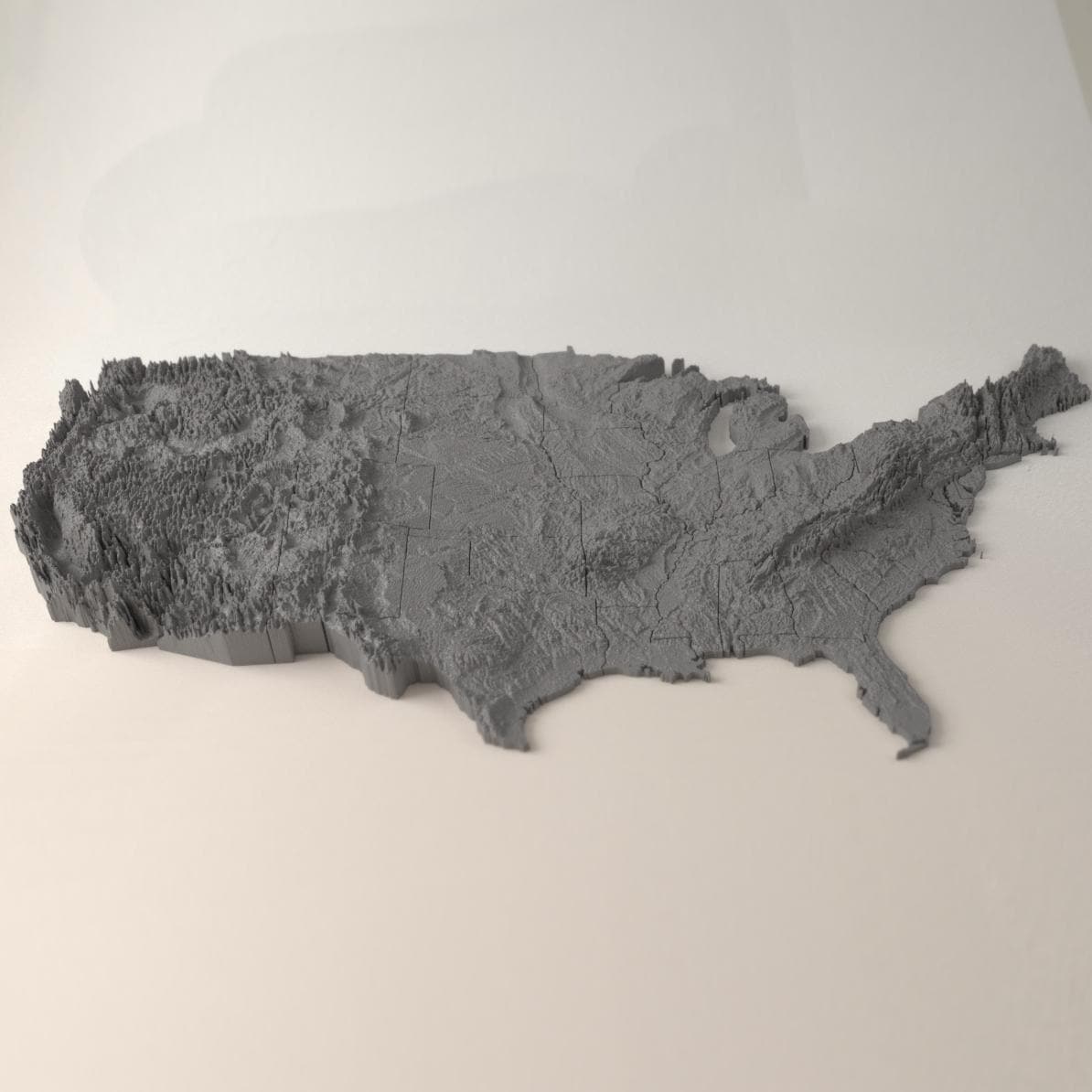
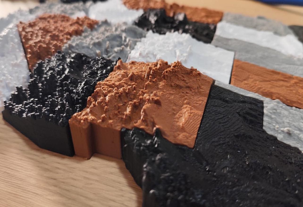
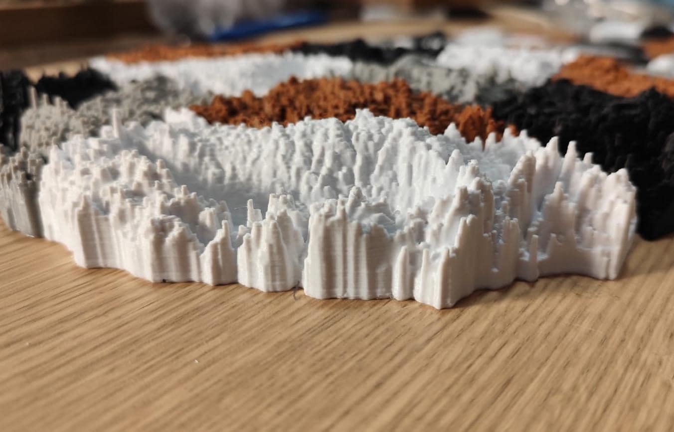
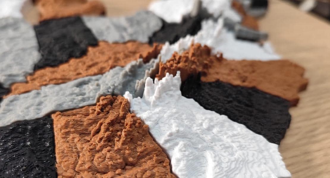
Rendered in a special scale to accentuate reliefs from all over the country, you will find detail in every state.
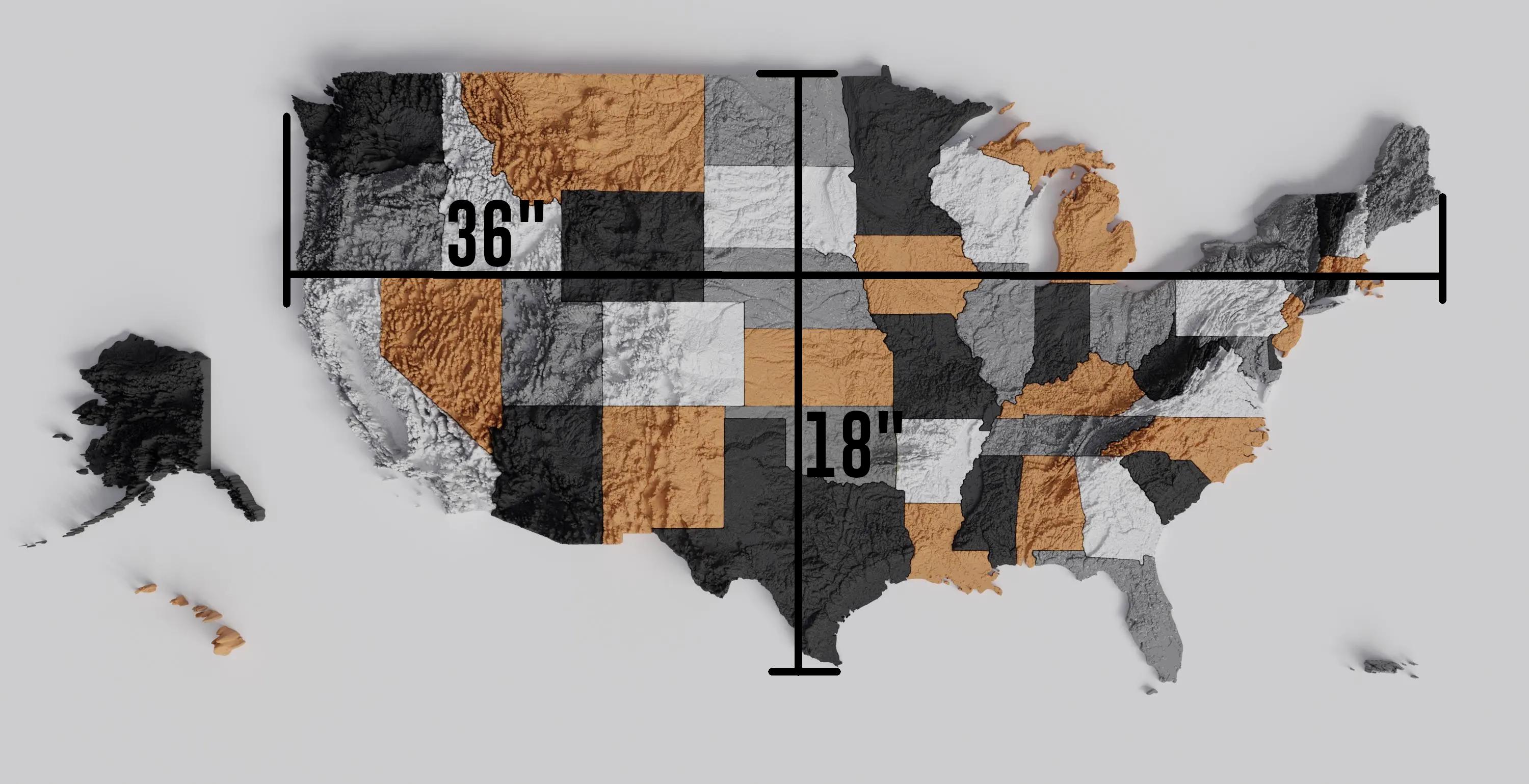
Full size is 36" by 18" for the contiguous 48, totalling about 44" horizontally depending on where Alaska and Hawaii are placed.
It is the perfect tool for classroom activities involving the geography of the United States, and an outstanding asset for learning about our environment through more senses than just sight and hearing.
It can be wall-mounted using strong double sided tape, though we generally recommend mounting it to a board first with contact adhesive and mounting that to the wall since it's easier to work with. It makes for a great statement piece to hang on you wall. Colors may have slight variations from images.
Reviews (1)
Average:
Oct 13, 2026
I really enjoy the region split option and I love the size of each state with their mountain features (Far West), especially Alaska. 10/10 product, I highly recommend to others interested.

Bryan Grohman