
Utah | 3D Printed Topographic Relief Map | Tactile Terrain Model
$58.67+
Utah | 3D Printed Topographic Relief Map | Tactile Terrain Model
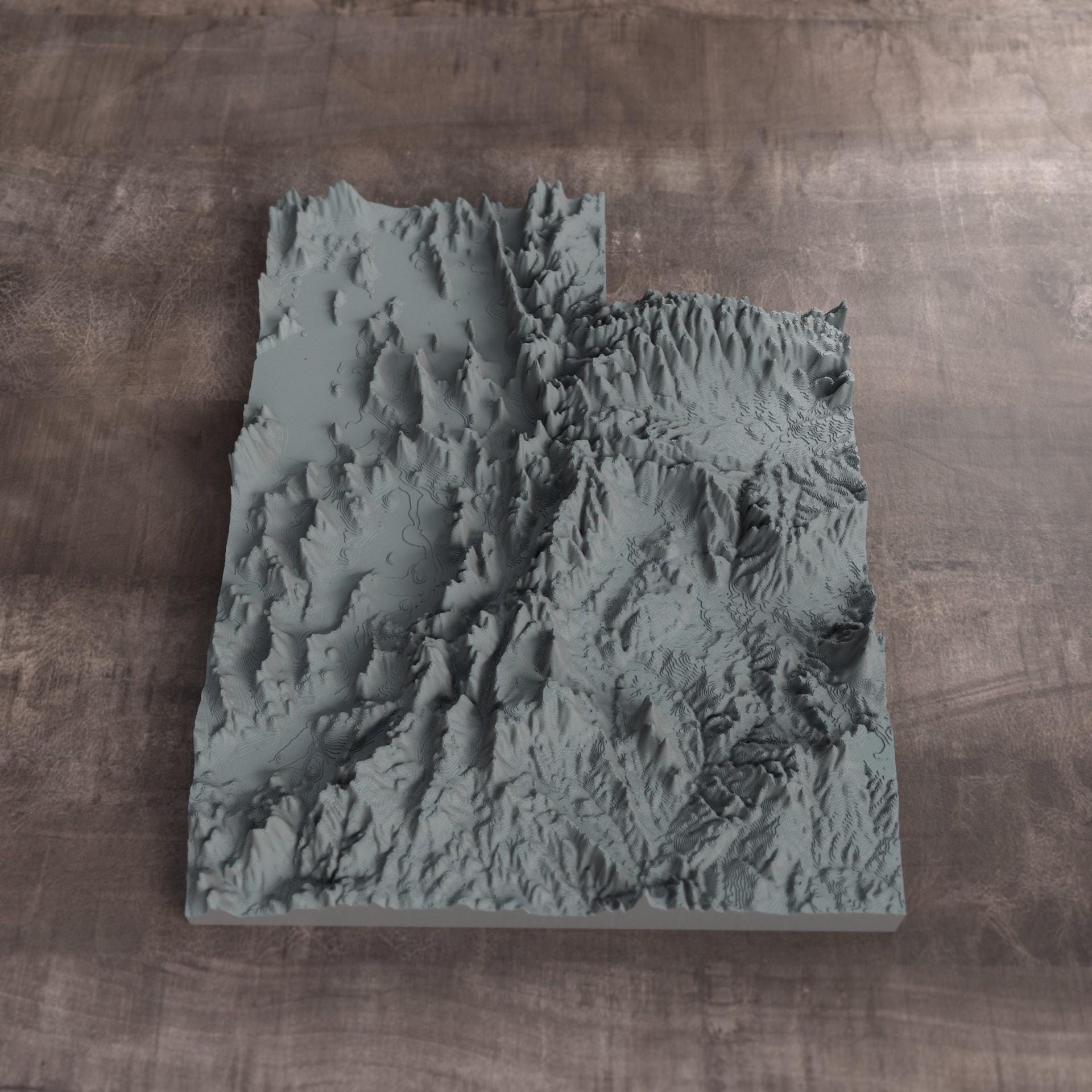
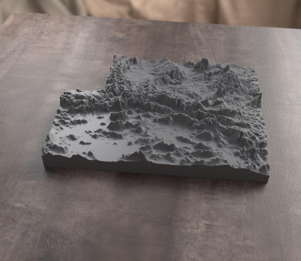
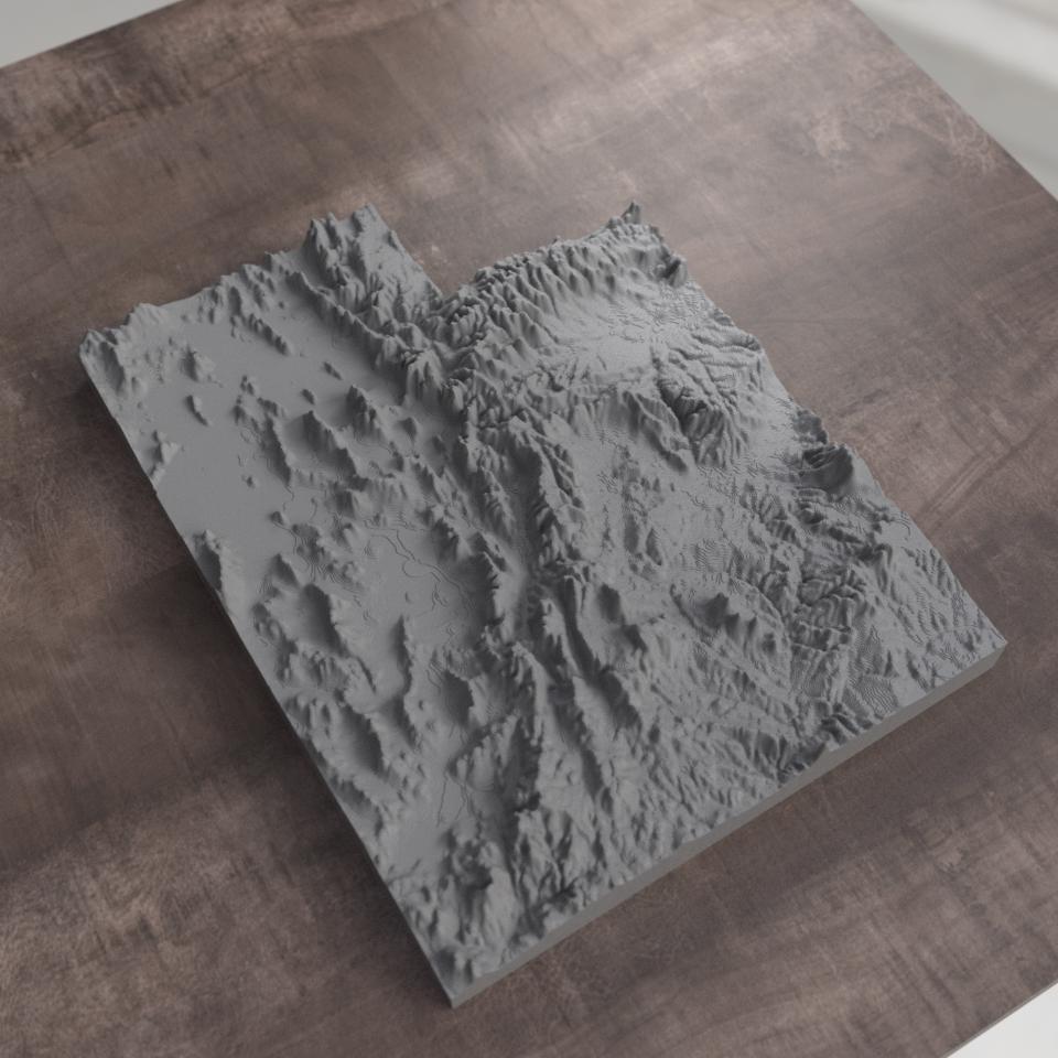
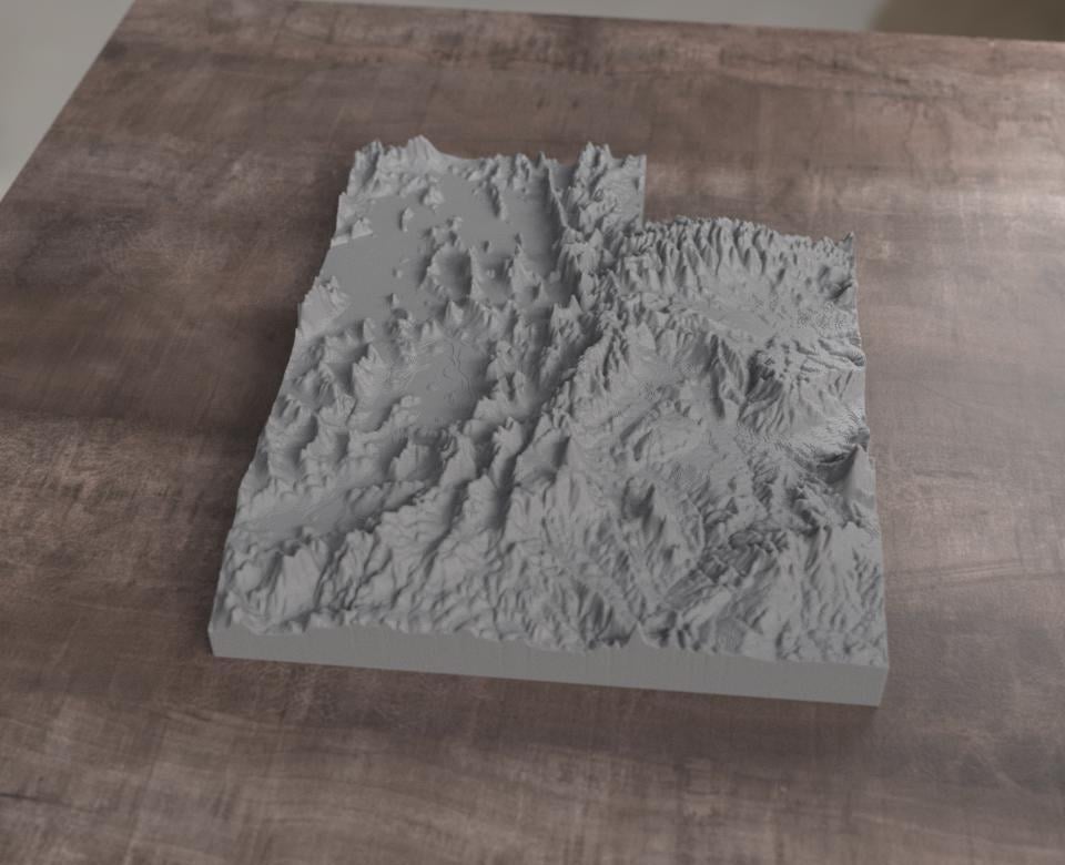
Hold your home state in your hands. This is a true-to-data topographic relief map of Utah, 3D printed from real elevation data so every mountain range, valley, and plateau rises off the surface exactly where it does in nature.
We engineer each piece from actual digital elevation models and render it at a vertical scale chosen to make the landscape read clearly by sight and by touch.
Size & Details:
Dimensions: 6.18 in wide x 8 in tall x 1.5 in thick
Material: PLA
One size only
Why you'll love it:
- Real elevation data, so mountains, basins, and ridges you can actually feel
- Designed to be touched: fully tactile and readable with your hands, great for accessibility and low-vision users
- Clean, monochrome design that fits any wall, shelf, or desk
- A meaningful gift for hikers, geographers, travelers, teachers, and anyone homesick for their state
Perfect for Housewarming gifts, moving-away keepsakes, classroom and educational use, office decor, and tactile learning.
Made to order, so please allow 7 days for printing and finishing.
Magnets extra includes 3g superglue pouch, requires assembly